iGeo Test Guidelines
The iGeo testing process consists of three parts:
Students complete the assignments individually. All questions and answers are in the official language of the Olympiad – English. Students who are non-native English speakers and/or not educated in English may use an approved text-only bilingual dictionary during the tests. They are also given extra time for written tests, as approved by the Steering Committee.

The content for the MMT and WRT tests is drawn from the broad categories listed below.
Required Skills for All 3 Tests:
Map skills (read, analyze, interpret and produce maps)
Inquiry and problem-solving skills
Graphicacy skills (read, analyze, interpret and produce images, graphs, photos and statistics)
Written Response Test

Multimedia Test
The MMT consists of 40 questions, each taking 1-2 minutes to complete, depending on the complexity of the resource.
The focus of the MMT is on issues that are geographically and socially relevant.
The MMT tests contemporary and applied geographical knowledge from all 12 topics listed above and/or from the required skills categories.
The test also covers both physical and human geography, either as separate questions or integrated into a single question.
All questions refer to a specific resource such as a map, photo, diagram, chart, graph, video or audio recording.
Each question will consist of a multiple-choice question with 4 answer options.
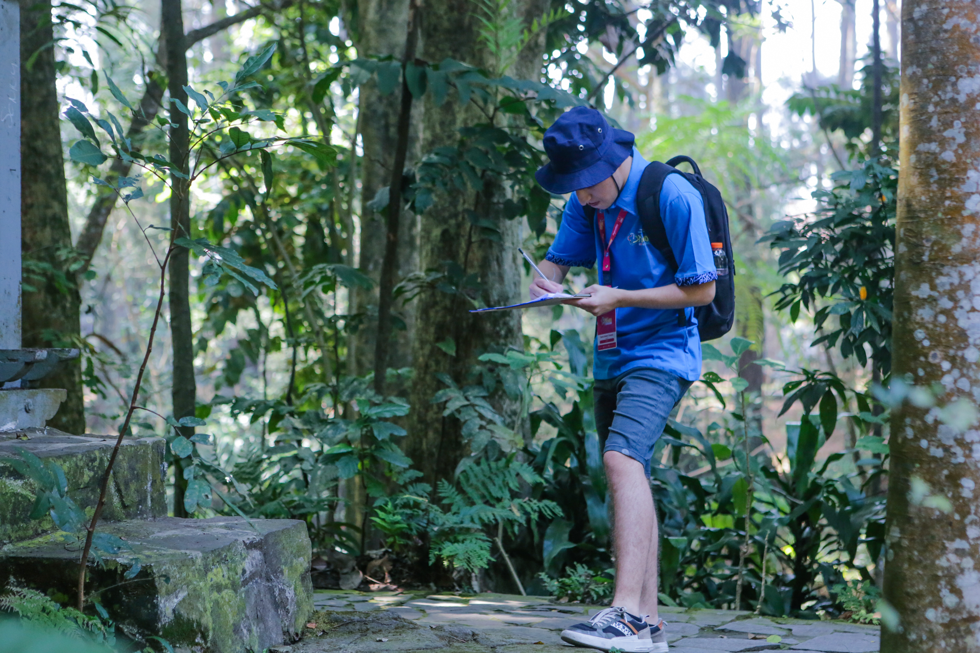
Fieldwork Exercise
The Fieldwork Exercise consists of three parts:
- 1
A Mapping Exercise of the Fieldwork Area: This step requires students to make observations, name observed features/phenomena, and to locate the phenomena on a map using appropriate symbols and proper cartographic conventions. Students could, for instance, be provided with a base map and asked to add information to it utilizing their cartographic skills.
- 2
Analysis of a Spatial Issues within the Fieldwork Area: Students will be presented with a real or hypothetical spatial problem within the fieldwork area. The case study may be related to physical and/or environmental planning and will require the student to collect, organize, analyze and present additional data during the course of their fieldwork.
- 3A Problem-solving Exercise Leading to a Spatial Plan or Map: After completing the mapping exercise and an analysis of all of the information about the case study, students will be presented with a problem-solving task that requires them to come up with a spatial plan or map to solve the problem, and to explain their design choices. The explanation will demonstrate that the participants understood the nature of the problem, made connections between the characteristics of the fieldwork area and their suggested plan. In the explanation the use of graphic material (diagrams, photos, graphs, statistics) is preferred over lengthy texts. The map (spatial plan) is mandatory; the choice of the nature of the additional information is up to the participants.
The criteria for marking the final product will be explained to the participants in the briefing that will take place prior to the FWE.


